
+ Plenary speaker, AutoCarto 2023 Ethics in Mapping: Advancing Inclusion in the Spatial Industry
+ Director at Large 2020-2022, North American Cartographic Information Society: Chair of Diversity, Equity, and Inclusion Committee
+ Speaker, NACIS 2022, How to Recreate a(n Old Map) Style
+ Meet Director, 2022 DC Pull for Pride Fundraiser (we rraised $15k! for 3 DC LGBT+ organizations!)
+ Co-host, URhere podcast
+ Director at Large, North American Cartographic Information Society
+ Panelist 2021, A more inclusive career panel
+ Speaker 2021, How do you create a map for someone who cannot read?
+ Speaker 2020, Recreating Vintage Map Aesthetic Elements
in Adobe Illustrator
+ Speaker, NACIS 2020, How to talk about maps (design critique)
+ Speaker, NACIS 2019, Recreating Map Monsters
(and Other Useful Design Tips)
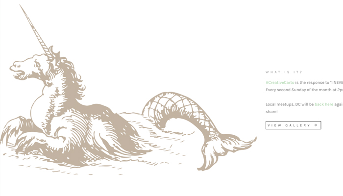
+ Founder, #CreativeCarto, 2018 - present: An international online and in person meetup to work/learn/share carto projects. See link or portfolio above for more details
+ Founder, Lift then Eat, 2019 - present: A gym community built around friendship that started while lifting in Balance Gym, DC.
+ Speaker, NACIS 2018, Branding in Cartography
+ Speaker, NACIS 2018, (A Woman’s) Cartographic Perspective
+ Co-organizer 2016 - 2017: NACIS Practical Cartography Day
+ Workshop: Teaching people to map with Openstreetmap at NACIS, to help collect data for humanitarian purposes
+ Speaker: February 2017 Maptime DC talk on aesthetics and maps
+ Speaker: U of Oregon Dpt of Geography, Feb 2017 - Exploring Technology's Relationship with Traditional and Web Cartography... and Education
+ Workshop: While at OFDA, I volunteered to help teach Openstreetmap in many Mapathons. At work, I also led OSM training for OFDA, along with teaching map and GPS navigation skills for deployed staff.
+ Speaker NACIS 2015, Practical Cartography Day, Restyling Old and Cluttered Maps
+ Speaker NACIS 2014, How Technology Affected Aesthetics of Pre-1900s Maps
+ Featured: DCFemTech, 2021 Design Award Winner
+ Featured: Maps.com, "Highlighting Five Fantastic Women in the Geospatial Industry"
+ Editor: Atlas of Design, Volume 5
+ Published: Cover art and interior map in GIS Cartography: A Guide to Effective Map Design, Third Edition
+ Interview: Printlovers magazine
+ Featured: 2018 Geohipster Calendar
+ Published: Maps and graphics in the History of Cartography Project, Volume 6: p. xxiii
+ Featured: A Cartographer's Story - a brief discussion about work in Mongolia
+ Published: Peer review article, the design and evaluation of Global Madison (mentioned above in Portfolio)
+ Featured: OFDA post highlighting my GIS Analyst and Cartography work
+ Press: Alberto Cairo, The Many-Faced Infographic: Brooklyn, Elephants, and the Visualization of Data
+ Press: Telling a Story with Data
+ Press: UW-Madison Students Sweep Awards
+ Featured: 50 Year's of Change, >Bostock's D3 Gallery
+ Featured: Cartographic Perspective 2011, No 68, NACIS 2011 winners

Associate Director of nonprofit GreenInfo Network, providing geospatial and related information technology support to public interest organizations and agencies. Staff of 15 specialists work for 100 groups annually, including those engaged in environment, land and water conservation, public health, social justice, and philanthropy. Personal specialties include strategic communications and messaging, data-driven storytelling, interactive and print cartography, visual design for print and presentation, community-building, software training, and spatial education.
At George Washington University, teaching students cartographic design techniques, different softwares/technologies for mapping, storytelling through visualization, ethics in cartography, as well as map/design critique skills.

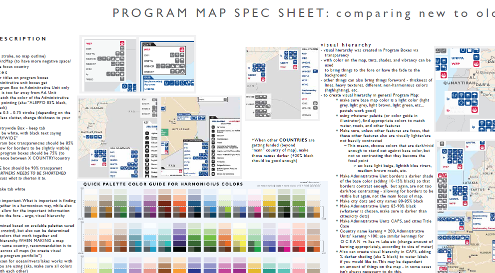
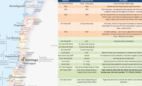
Leading product and map design for new and innovative solutions for a variety of internal and custom projects, from updating and building new design interfaces that provided cartographically sound design choices that helped create map templates for general-use customers, to creating either custom-built user interfaces for navigation design, or customized map designs for a variety of customers (navigation, disaster mapping, weather, newsroom, and more) using Mapbox Studio and GL JS. Also helped to build education modules about cartography and Mapbox Studio.
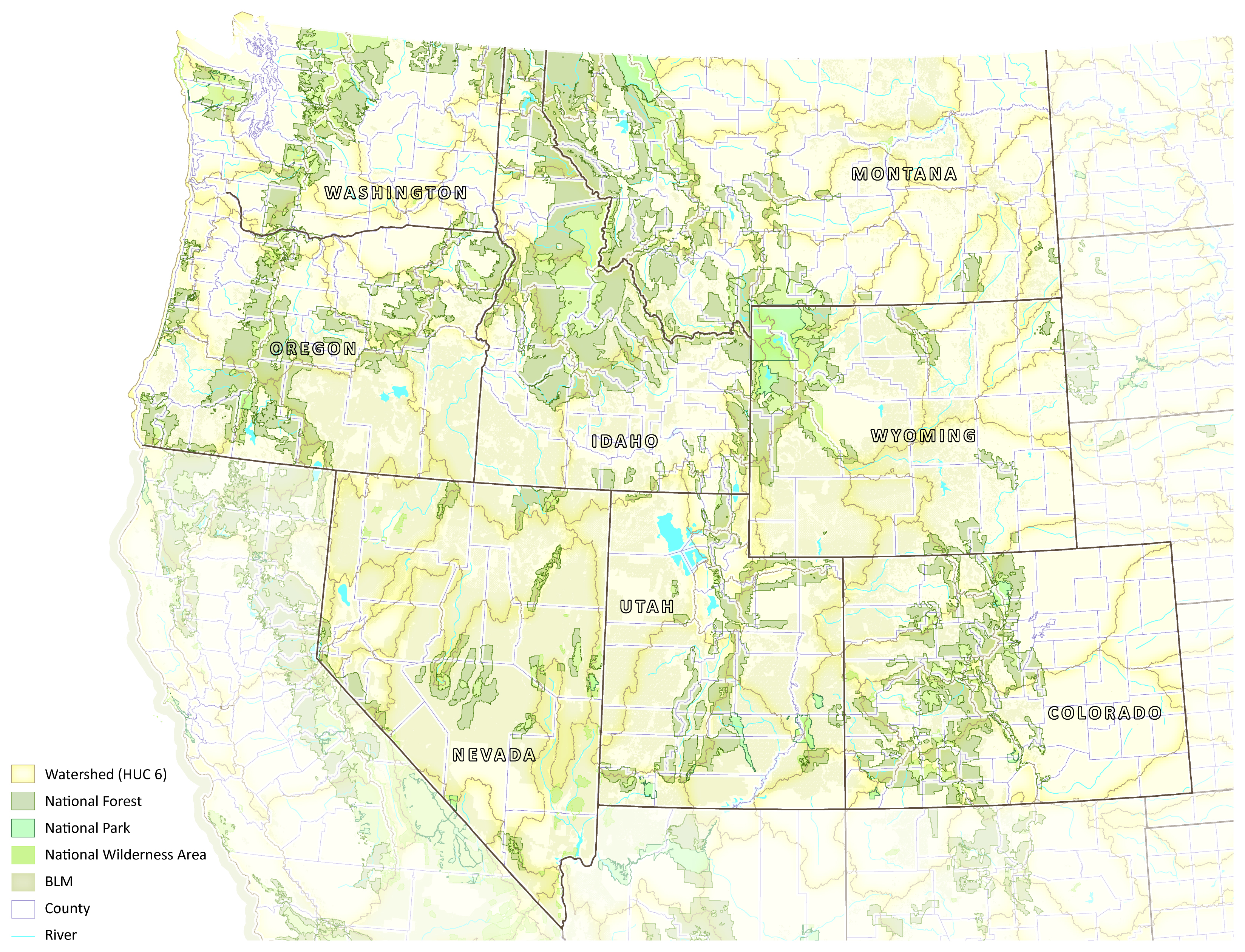
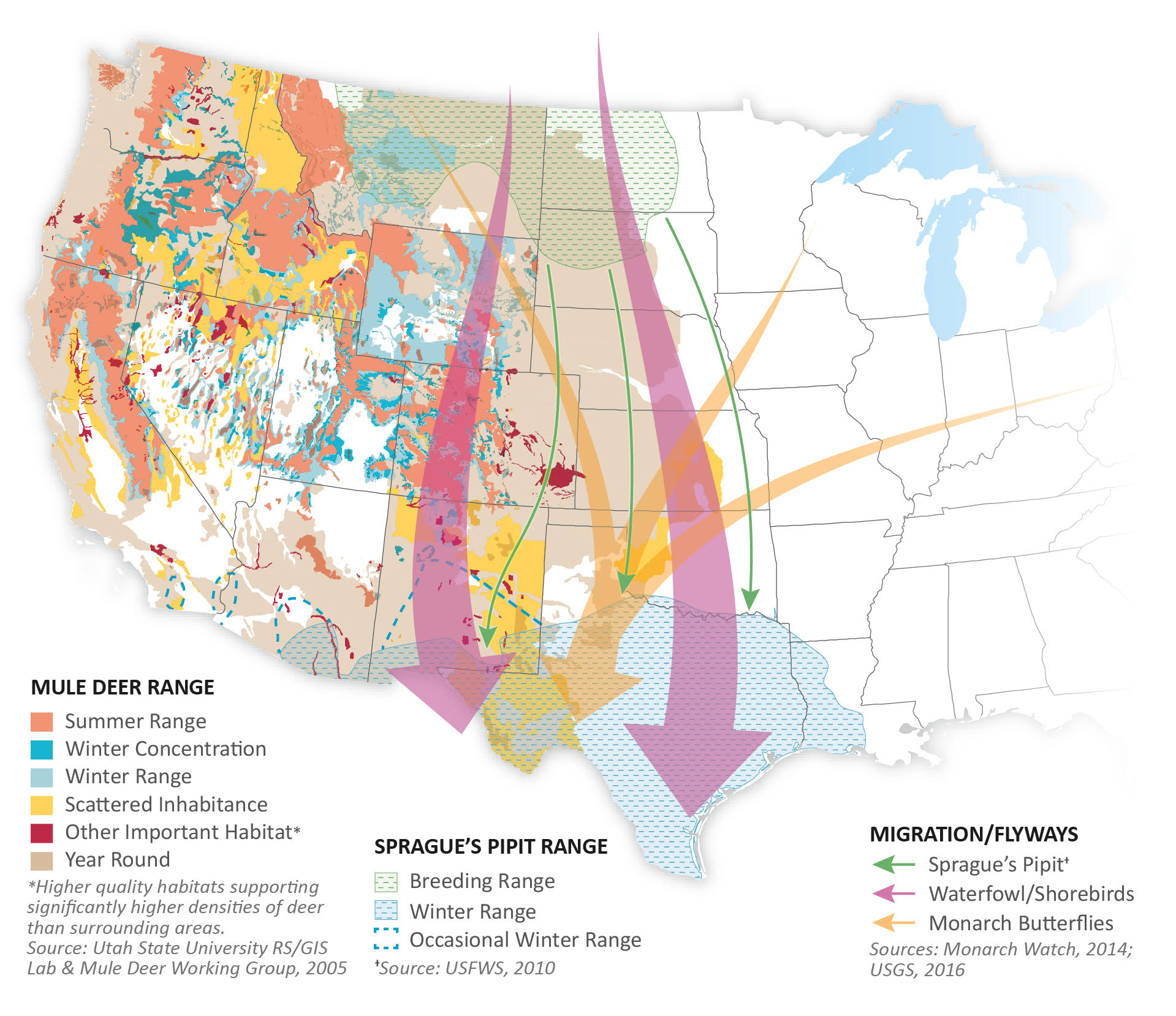
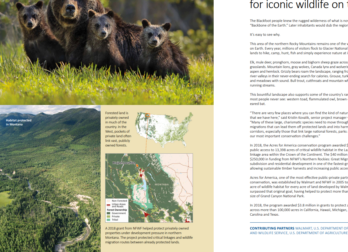
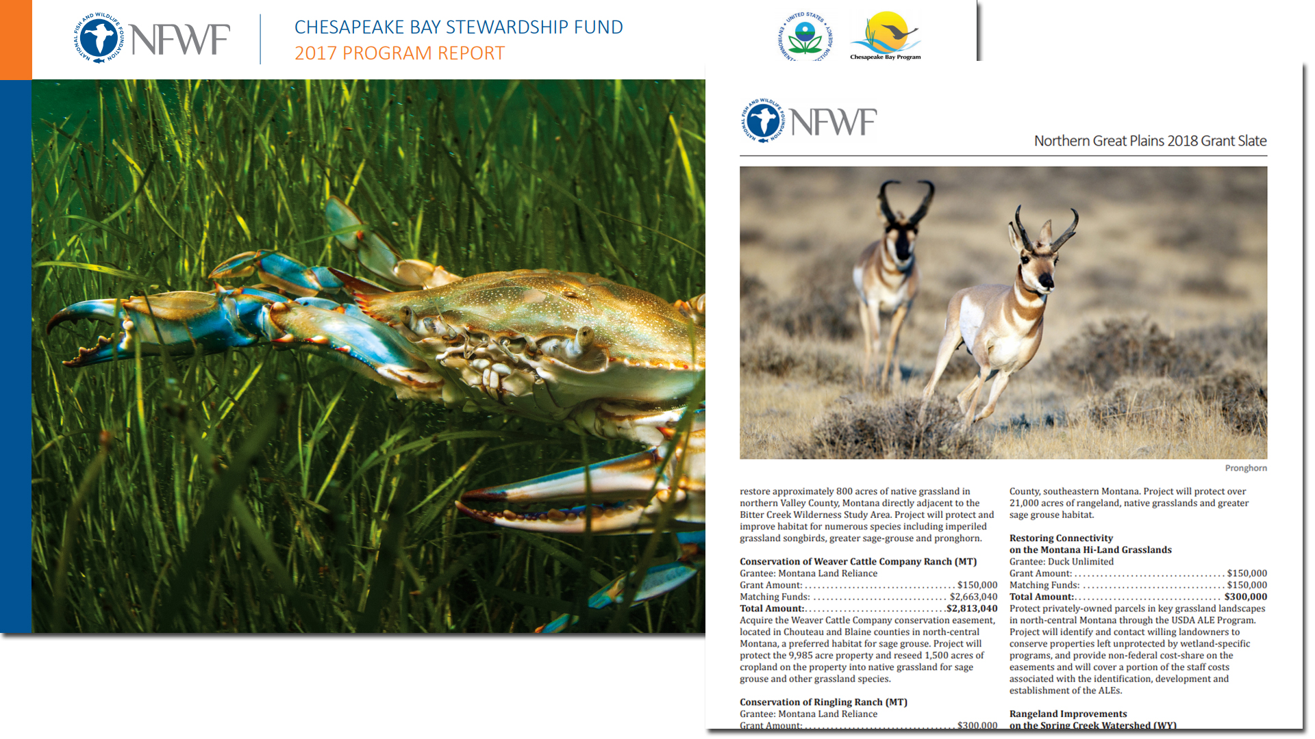
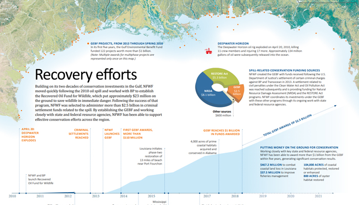
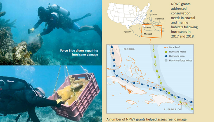
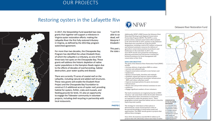
As the first cartographer at NFWF, I defined the brand aesthetic of NFWF maps,
in bring more spatial data visualizations (both static and interactive)
and graphics to a range of products for internal and external planning and information exchange.
At NFWF, I Also helped Communications design and create publication materials, such as fact sheets and grant slates.
Additionally, I helped lead discussions and planning for the re-development and structuring of our spatial database. I was also the liaison for external communicatation, re: anything spatial.

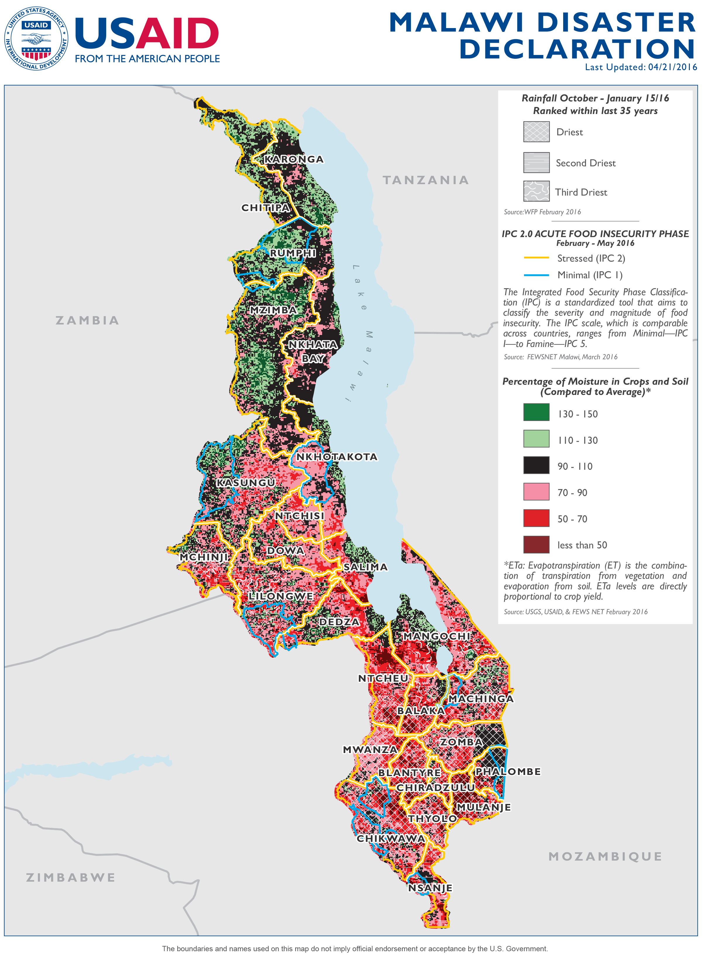
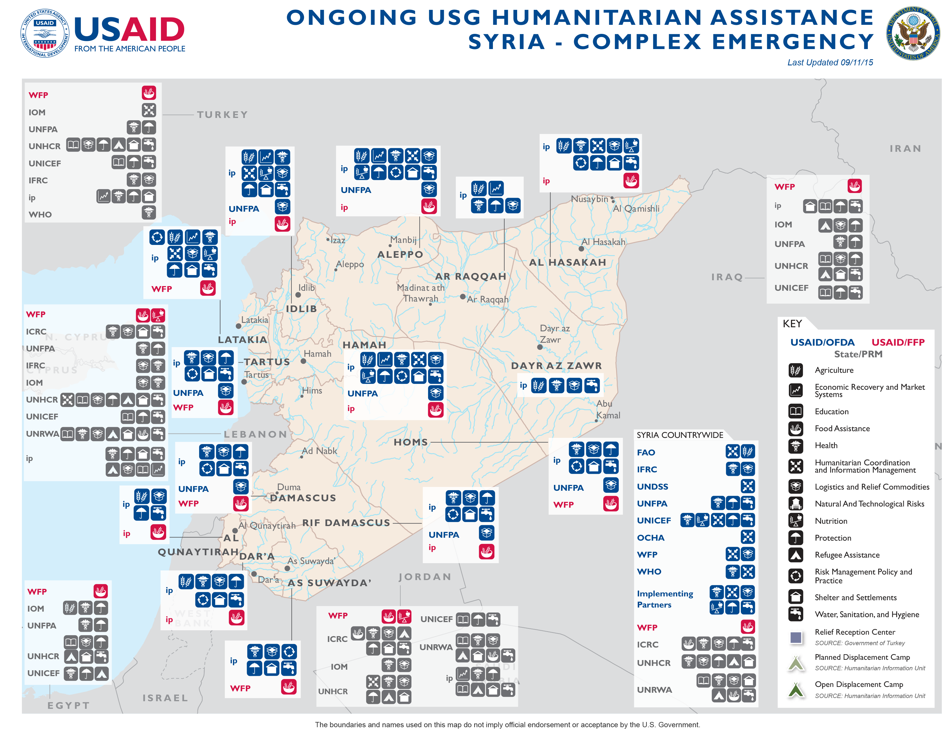
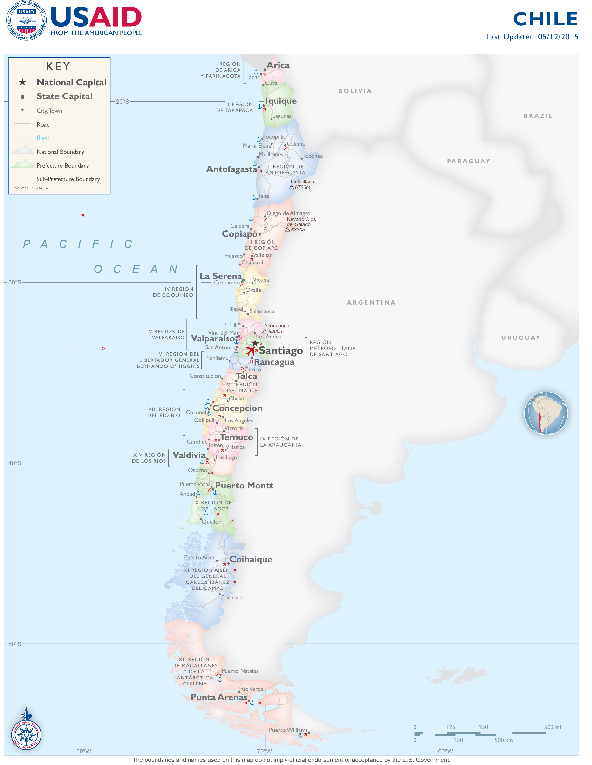
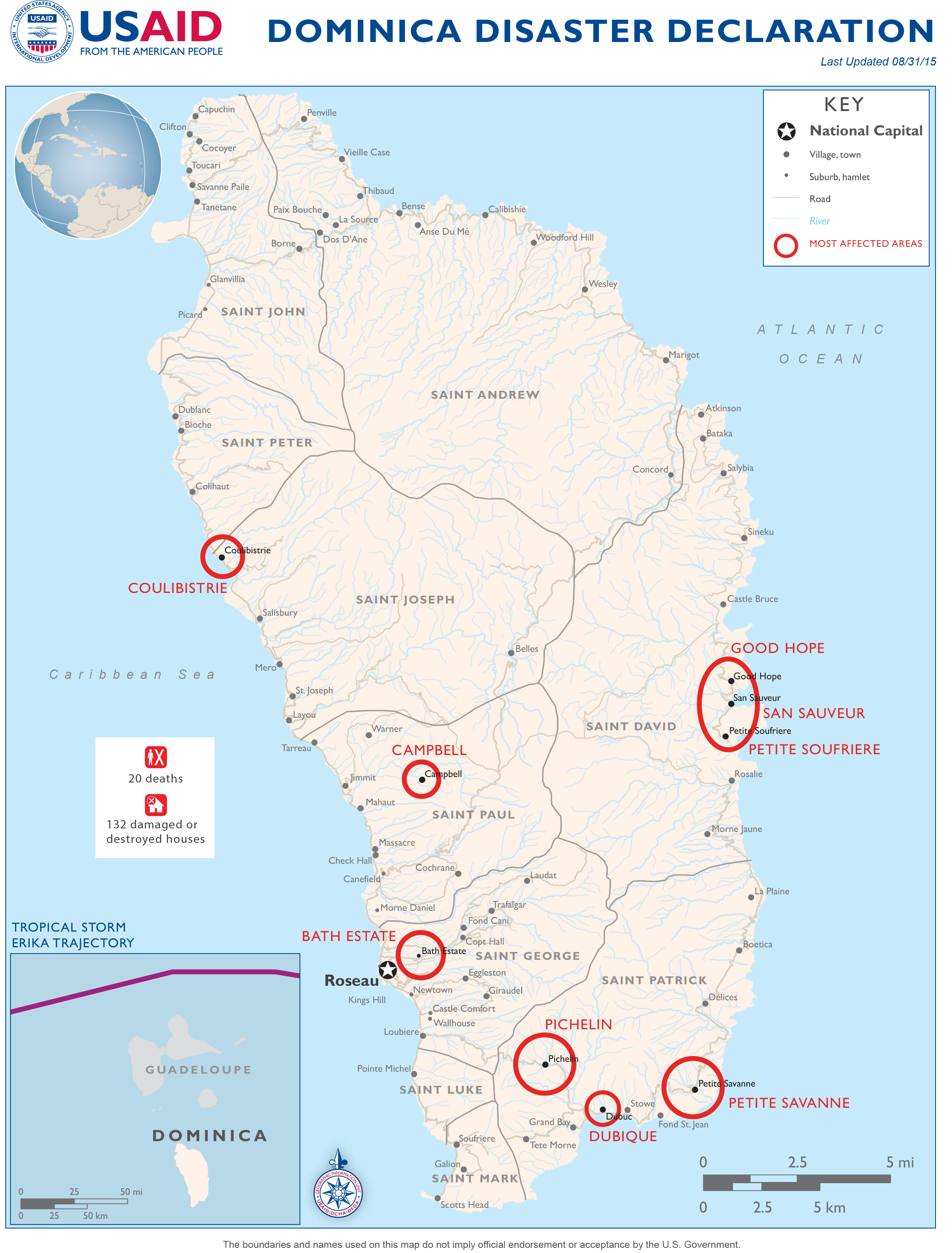
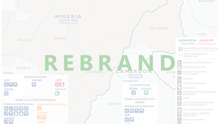
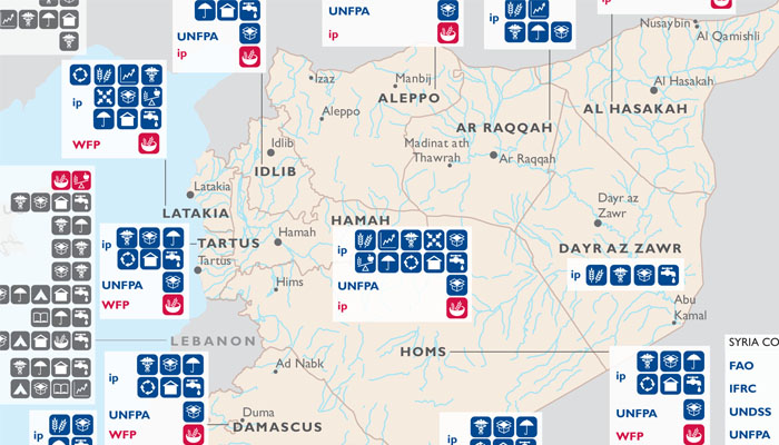
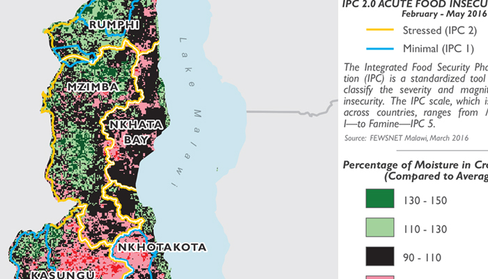
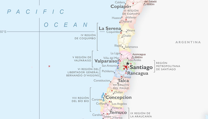
Project manager for South & Western African Nations at USAID/OFDA. I provided geospatial services to USAID/OFDA's humanitarian work in the form of maps and graphics, spatial analysis, and technical team projects. Projects included sudden onset taskers as well as long term creations and updates, in print and on the web. I also was in charge of rebranding various OFDA map styles (some examples shown above in portfolio).

I became the Project Assistant for the UW-Cartography lab, where I managed and led multiple projects requiring geographic analysis and design needs of the UW system, government agencies, authors and publishers as well as many commercial clients, in addition to any other regular Cartography Lab needs (see below). I also trained other cartographers as needed.
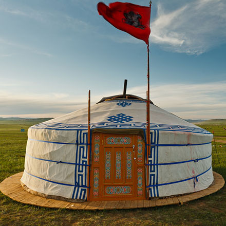
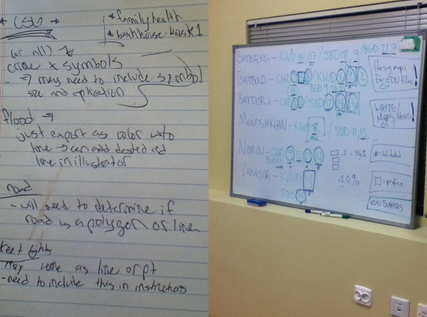
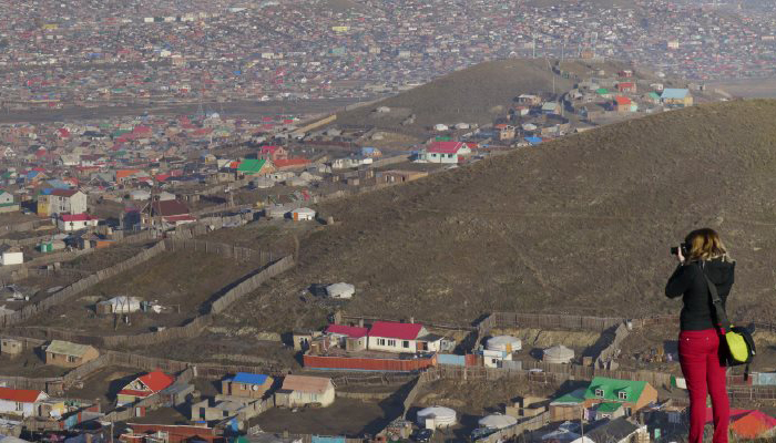
For a fast-paced 10 days I was the cartographic design expert, leader, and teacher for a project in Ulaanbaatar, Mongolia. I gave cartographic technical support for The Asia Foundation during formal and informal working meetings with government, private sector, and non-governmental leaders, and technical staff. I led the production of ~300 maps (and helped to make them as well) to visually communicate the needs of the impoverished ger communities, while also restructuring the production process and database management.
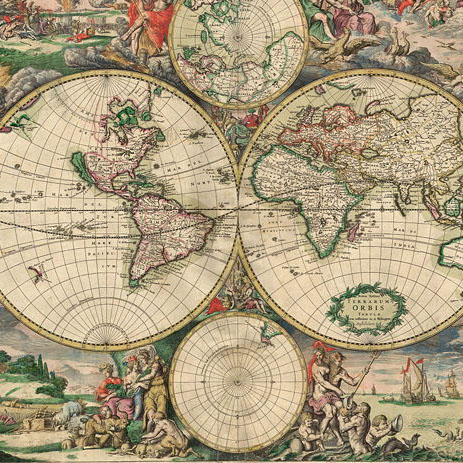
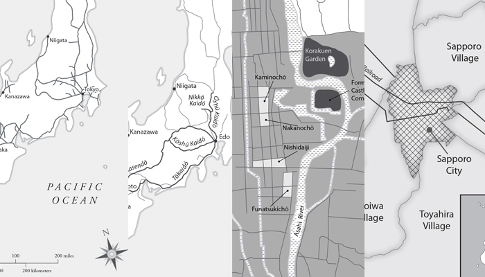
Under UW-Madison Cartography Lab employment, I created any necessary graphic designs for the History of Cartography Project’s 6th volume, such as maps, diagrams, and infographics.
Senior year of my undergraduate career, I began working as a student cartographer. I served the geographic analysis and design needs of the UW system, government agencies, authors and publishers, as well as many commercial clients. I also provided complete graphic design services for print brochures and books, online maps and websites, and interactive maps.
I triple majored in four years at University of Wisconsin-Madison: Geography with PPeople/Environment Interactions Emphasis; Cartography & GIS; and Spanish Linguistics, graduating in 2012. I then continued my academic career and graduated with a Master of Science n Cartrography & GIS in 2014.